An AP story this morning reports that snow has forced the closure of I-80 between Sacramento and Reno, Nevada, where it is parallel to (and often intertwined with) the Lincoln Highway in eastern California. Eastbound I-80 was closed at Colfax (50 miles NE of Sacramento) and westbound traffic was being held at the Nevada state line. Meanwhile, floods, mudslides, and winds are battering southern California.
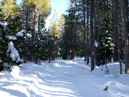
For a calmer take on winter weather, Paul Gilger, Chair of the Lincoln Highway Association National Mapping Committee, sent along these images from brothers Greg and Grant Gassman, members of the California chapter of the LHA. A few weeks ago, they took these photos of the original 1913 alignment through Kingvale up near Donner Pass. The first one is looking east on the 1913 alignment just before it rejoins the 1926 alignment on Donner Pass Road (which does get plowed):
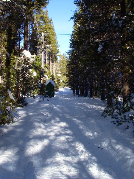
The second photo is just taken a little to the west of the first photo. It’s also looking east on the 1913 alignment:
Tags: California, Donner Pass, Greg and Grant Gassman, highways, old road, Paul Gilger, snow

January 28, 2008 at 10:45 am |
Those photos are beautiful!