Posts Tagged ‘US map’

Lincoln Highway Assoc posts basic maps online

December 14, 2009

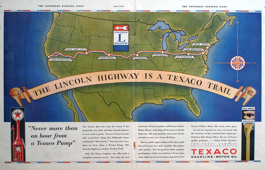
Paul Gilger, head of the mapping committee for the Lincoln Highway Association, has uploaded a national and statewide maps of the Lincoln Highway to the LHA site. Though they only show basic routings, the maps should be a huge benefit to fans thinking of following the first coast-to-coast highway.

Paul explained a little about the layout and process of creating them:

Once you get to the United States map, you click on the individual states to go to that state map.  (There is also a place to click at the top of the page to get to the states.)  Once on the state maps, you can click and go from state to state.

As you can see, at this scale, these maps can only be very generic, and can only show the general layout of the Lincoln Highway.  Included are the county names, the names of major cities, and the route signs for the major highways that follow the Lincoln. To see the exact location of all the alignments, it is still necessary to purchase the Lincoln Highway Driving Maps CD.

It has taken 2 years to format these maps, and then another year to set up the map pages.  A very big thank you goes to our webmaster Jimmy Lin who worked hand-in-hand with me.  I provided the map artwork, and then Jimmy set up the pages and their various cross-links.  He also provided many graphic refinements to the maps.

You’ll find the maps at www.lincolnhighwayassoc.org/maps/.

To purchase the Driving Maps CD, visit the Lincoln Highway Trading Post.

Outtakes & extras from Lincoln Highway program

October 28, 2008

Rick Sebak and his crew filmed dozens of hours but only had room for about 15 stories in A Ride Along the Lincoln Highway. Five stories that were finished but couldn’t fit in the hour-long program will be on the DVD as extras. And starting today — not only are they available online but so are 21 more outtakes from the show.

The five feature stories are on Woodine Iowa’s Brick Street Station, a bookstore in North Platte NE, a garage-turned-tavern in Lyman WY, a woman in Morrison IL with a yard full of lawn ornaments, and a farmer’s market in Belle Plaine IA.

The 21 outtakes cover a wide range of people and places, from Bernie Queneau recalling his Boy Scout life-saving demonstrations on the famed 1928 safety tour to Michael Wallis describing the genesis of Radiator Springs for the movie Cars and how it represents towns not only on Route 66 but along any old 2-lane. You’ll also see familiar faces from the LHA as well as folks from along the road who you’ll meet in the program.

Texaco's 1929 Lincoln Highway ad campaign

August 8, 2008

In 1929, Texaco ran an ad campaign centered on the Lincoln Highway. Advertisements ran in their member magazine, little strip maps were distributed, and spreads like this one in the Saturday Evening Post pointed people to the cross-country route. This was a bit odd considering the LHA had ceased active operations the year before, but perhaps that’s why the company chose to honor what it called a “transcontinental “Main Stree,'”

CLICK the map to see it larger.

Cold weather hits LH from coast to coast

January 25, 2008

My web site has long had a Lincoln Highway weather map featuring conditions from 12 cities across the country. This morning, as I walked through 7° temperatures in PIttsburgh, I wondered about the rest of the country. As you can see, only San Franciscso can boast of warm temperatures (47°). The rest of the country is 25° or less, with 3 of the 12 cities below zero!

BB_LHweatherMap

Wyoming DOT has a nice collection of web cams from I-80, which is often parallel to US 30/LH. The roads this morning look pretty clear in the east, but a few, like Evanston at 7 am (seen below), still look slippery:

WY_EvWeather

Click the Lincoln Highway Map

November 7, 2007

For those not familiar with the route of the Lincoln Highway, I now have a map available based on the one in my Greetings book. Click the thumbnail below or the really tiny one to the right and you’ll get a US map up to 19 inches wide, just like this one:

Butko Greetings LH map - Med

The first generation represents the “Proclamation Route” of 1913. Towns like Trenton, NJ; Marion, OH; and Ogden, UT were quickly removed (though Ogden would later be put back on).

You’ll also see the Colorado Loop, which the LHA soon regretted but nonetheless approved of for two years. Note also that there were two ways around Lake Tahoe in eastern California. West of Sacramento, the 1928 rerouting is being debated of late as to whether the change was officially endorsed by the LHA board. It’s included because that’s where the LHA’s concrete posts went in 1928.

The first tally of the Lincoln Highway’s length was 3,389 miles (including Camden and Marion but not Ogden), though it would always be in flux due to bypasses and realignments. More than a decade later, the now more-famous US Route 66 would run 2,448 miles from Chicago to Los Angeles (though it likewise would vary in length).